Access our advanced drone technology without ownership hassles:
On-demand drone operations for agriculture, surveying, and inspections
Expert pilots and data specialists included
Ideal for seasonal tasks, one-time surveys, or pilot projects
Perfect for clients who need precision aerial services without investing in full-time drone fleets.
Advanced tools for accurate, high-resolution data capture
Designed for GIS, construction, mining, and environmental monitoring needs.
Precision 3D terrain mapping for engineering, forestry, and infrastructure.
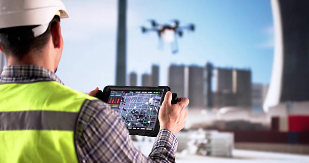
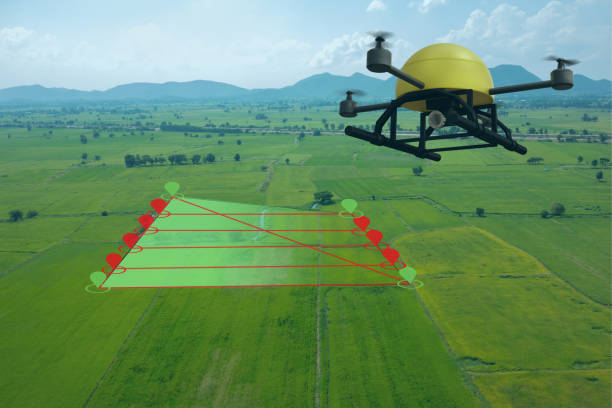
High-quality aerial imagery for topographic mapping and planning.
Autonomous Passenger Drone
A bold step toward urban air mobility, offering eco-friendly and autonomous air taxis for fast, safe, and sustainable city commuting.
QuillAir’s vision for the future is smart, sky-based transportation that redefines how people move.
Copyright © Quillair 2025 All Right Reserved |Website Developed by Flown Developer